Following last week’s accidental blind roaming through the Cheviot hills I made the executive decision to buy us a new map of the area. The one we couldn’t find was old and ragged. Ultimately ripped in half through two decades of heavy use. Heaven knows where the two parts ended up. Trapped in between brochures and bills in the TV cabinet? Stuck down the side of one of the seats in the car? Accidentally left sitting on some rocks in a cairn then blown away into the Pennine winds?
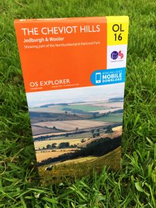
So I bought a replacement. Ordnance Survey map OL16. The joy in my heart when the little Amazon envelope landed on my desk at work was indescribable. I love maps. Real paper maps. The awkward way they’re folded, the constant opening on the wrong side… I. Love. Maps.
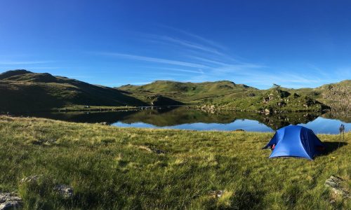
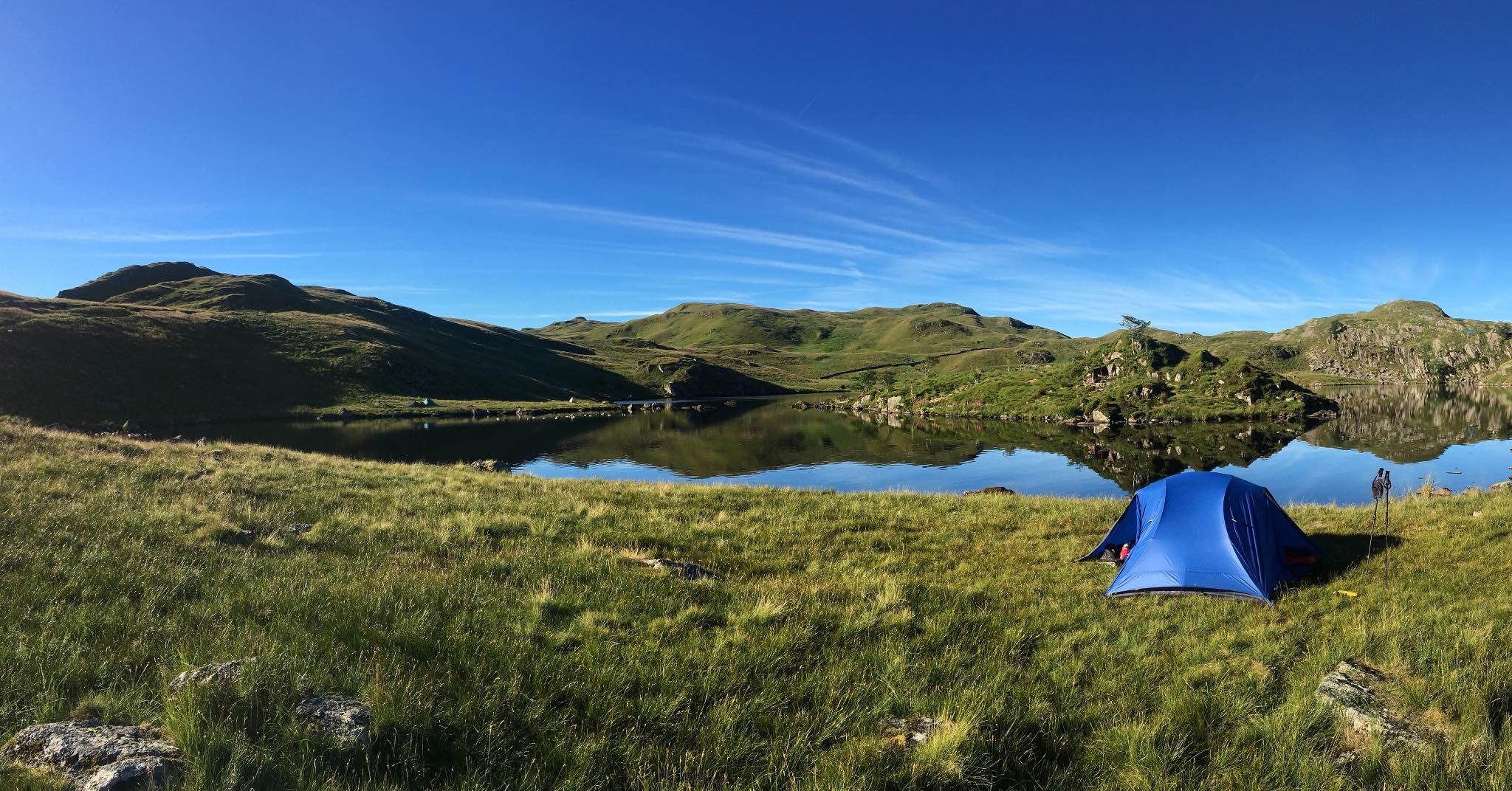
When the idea of a new adventure begins to form with us, one of the first things I do is buy the maps for that area. In summer 2016 we made plans to spend a week wild camping around Dumfries and Galloway. It’s my maternal homeland; I spent many a holiday and long weekend there as a kid spending time with my nana, and then after she passed away we visited my aunts and uncles. My uncle John was an explorer. He introduced me to hills and wildlife and the understanding that adventure really does begin at your front door, so after he passed away I naturally wanted to go back and explore the region fully.
Eight different maps cover the Dumfries and Galloway area; we bought five of them. In the days leading up to the start of our adventure I stood hunched over the dining table, maps spread out in full, armed with a pink Sharpie highlighter, and coloured in anything that looked interesting. Caves, towers, castles, cup & ring marked rocks, duns, you name it – if it looked like it might be worth exploring, I marked it. I did this on all of the maps knowing that many of the places I marked we probably wouldn’t visit, but that it gave us options.
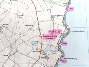 Marking up the paper maps like this signals the start of our adventures. It gives us a lie of the land, and although we generally make it up as we go along, it lets us see where we’re heading and make a rough plan so we can get stuck straight into the exploring.
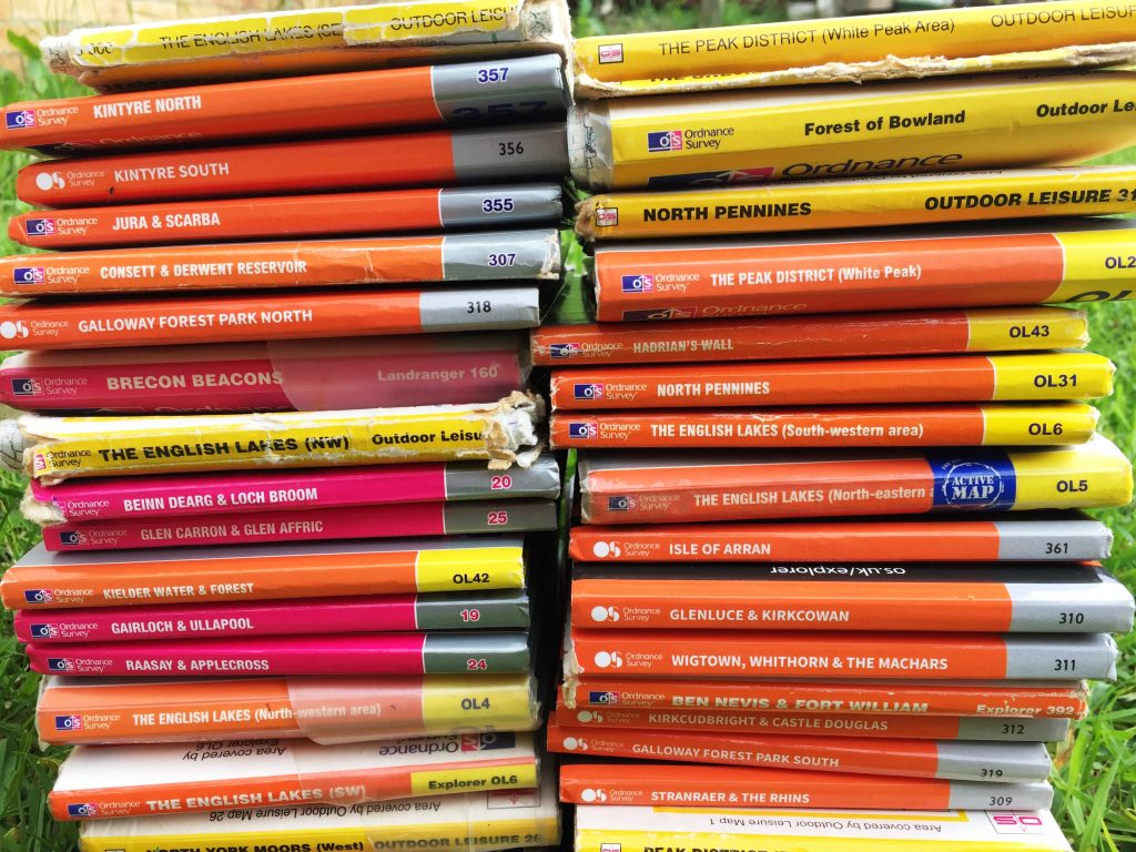
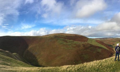
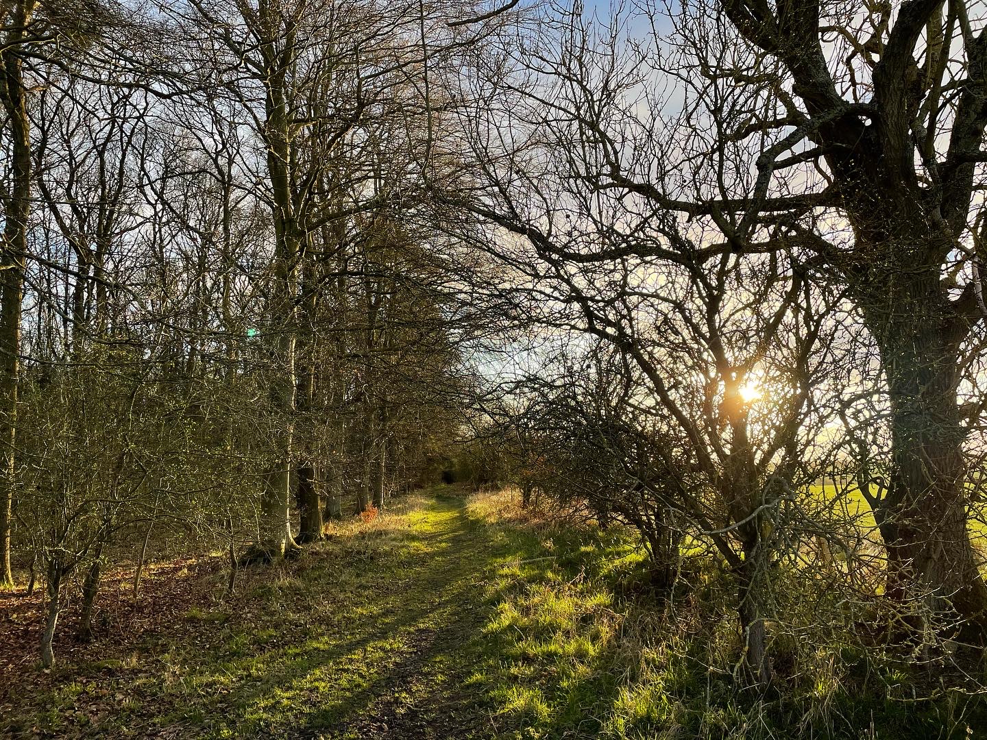
Our map collection grows with every trip we make. Some we may never use again. Some will be worn out in a decade. Every single one of them is bursting with memories. Souvenirs of the adventures we’ve been on and the incredible things we’ve seen in our home country.
You can keep your Memory Maps and your GPS gizmos. I’ll stick with my maps and my highlighters.